With spring finally here, it's time to once again make the most of the great outdoors. What better way to accomplish that than to break out a road bike and take it for a spin? The greater Washingtonian area has a terrific selection of smooth trails to choose from. We've mapped out some of our favorite rides and linked to where you can find more information for planning your trip.
Bonus: For data geeks, we’ve included elevation charts for each trail. Hover over the charts for details.
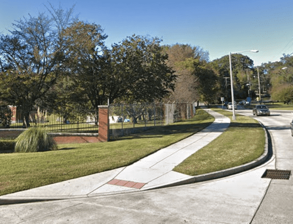
1. MacArthur Boulevard Bike Path
8 miles
The MacArthur Boulevard Bike Path starts on MacArthur Boulevard in North West D.C. and winds its way into Potomac Maryland for a final resting point at Old Angler’s Inn. On its way out of D.C., the trail parallels the aqueducts of the canal. Combining this tail with the C&O Towpath to make a nice roundabout loop. A warning before you depart on a trip - parts of the trail are a shoulder on the side of the road rather than a dedicated path. A map and more information on this trail can be found on TrailLink.
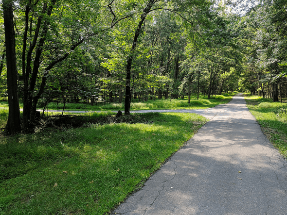
2. Sligo Creek Trail
10.2 miles
One of the oldest in Montgomery County, this trail weaves through the forest from Carole Highlands to Wheaton, MD. Most of the trail is enshrouded by trees, so it's great escape from the city landscape. The path can get highly trafficked at times and is popular among hikers, bikers, and rollerbladers. Updates on the condition of the trail and more information can be found by
Montgomery Park.
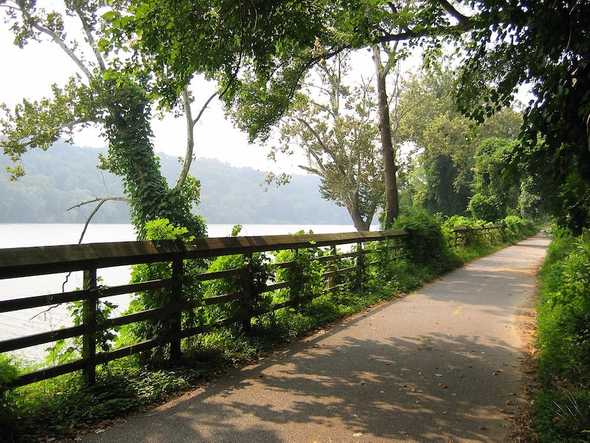
3. Capital Crescent Trail
5 miles
A beautiful ride along the Potomac, the Capital Crescent trail starts in Georgetown and ends in Silver Spring, MD. Catch scenic glimpses of the Potomac and elaborate architecture of expensive properties. This trail is mostly uphill for Northbound riders so make sure to plan accordingly. For more information about the CCT and to support the organization behind it, check out
The Coalition for the Capital Crescent Trail.

4. Metropolitan Branch Trail
8 miles
A
rail trail designed to connect Union Station with Silver Spring Maryland, this path is still a work in progress. More information provided by the official
Metropolitan Branch Trail website According to the
Washington Post:
There are no water fountains or restrooms, but it’s easy to find cafes along this urban route. There are also air pumps and bike repair stations at R Street and M Street NE.
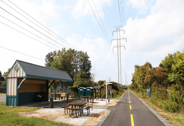
5. Washington and Old Dominion Railroad Trail
45 miles
A famous rail trail extending across Northern Virginia. The path can get heavily populated during rush hour after work and on the weekends. Its well paved asphalt and its reasonable flatness make it a popular destination for cyclists. The trail is populated with a series of mile markers so you can keep track of exactly how far you travel. Check out
Washington and Old Dominion Railroad Stations for historical sights along the way. The trail is maintained by
Nova Parks.
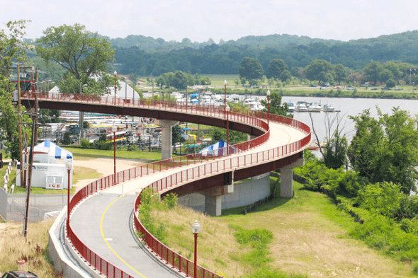
6. Anacostia Riverwalk Trail
20 miles
The trail starts in the Navy Yard and crosses the 11th Street Bridge into Anacostia. Enjoy plenty of room on both sides as the width of the trail is 10-12 feet. Three an a half miles of the trail runs through Anacostia Park, a great place to play a variety of sports on the fields and outdoor courts. The
Anacostia Watershed Society has a detailed map of the trail along with the history of the trail.
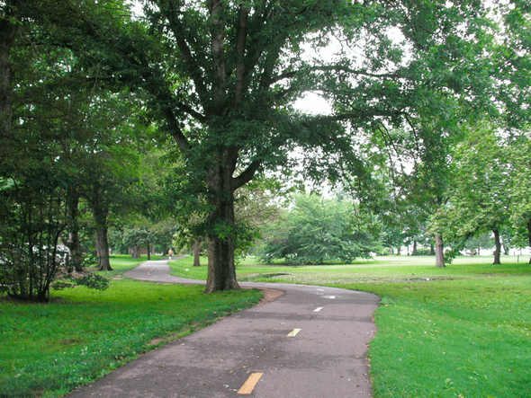
7. Mount Vernon Trail
18 miles
This trail starts across from Theodore Roosevelt Island in Rosslyn and ends at, you guessed it, George Washington's Mount Vernon Estate. A key feature of this trip is the ability to get uninterrupted panoramic views of the monuments across the Potomac. The Mount Vernon Trail is maintained by the
National Park Service. Restrooms, water fountains, and picnic trails along the trail make pit stops along the way easy.


